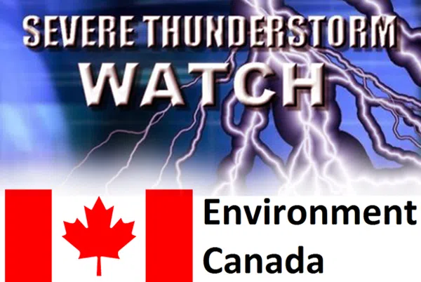
CENTRE WELLINGTON- A Severe Thunderstorm Watch has been issued for Guelph, Erin and Southern Wellington County. There are conditions that are favourable for severe thunderstorms that could produce damaging wind gusts up to 110 km/h, nickel sized hail and heavy rain in amounts up to 50mm.
The timing of this storm is favourable around this evening and into the overnight hours. Power outages are possible due to this looming storm, as well as a chance of property damage, buildings and as well as snapping of trees. This amount of rain also has the potential to cause flash flooding and as well as reduced visibility to drivers on the roadway.
If this storm approaches or gets worse, take cover in a sturdy room or basement. If you are caught outside, protect yourself from flying debris or hail. When thunder roars, go indoors! Lightning kills and injures Canadians every year.
Severe thunderstorm watches are issued when conditions are likely for the development of thunderstorms capable of producing damaging hail, wind or rain.
Please continue to monitor alerts and forecasts issued by Environment Canada. To report severe weather, send an email to ONstorm@ec.gc.ca or post reports on X using #ONStorm.
For more information visit ontario.ca/page/be-prepared-emergency