Environment Canada Warning
Orange Warning – Blizzard
Impact Level: High
Forecast Confidence: High
Snow squalls Monday morning. Blizzard Monday afternoon and evening.
What: Blizzard conditions with near zero visibility. Westerly winds gusting 70 to 90 km/h. Wind chills between minus 20 and minus 25. Snowfall accumulations of 20 to 40 cm. Locally higher amounts possible.
When: Snow squalls beginning Monday morning. Blizzard conditions Monday afternoon through Monday evening. Heaviest snowfall amounts expected Monday night into Tuesday.
Additional information: Lake effect snow squalls will begin Monday morning. Strong westerly winds will develop Monday afternoon, producing blizzard conditions in blowing snow. Winds and blowing snow will diminish Monday evening, however, snow squalls will continue into Tuesday.
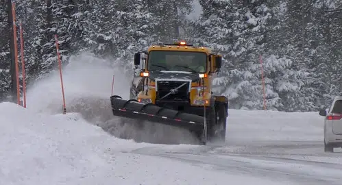
Travel will be dangerous and likely impossible due to near-zero visibility. Road closures are possible. Avoid travel and outdoor activities, if possible. If you must travel, have an emergency plan. Protect yourself from wind, cold and disorientation by staying sheltered, indoors or with your vehicle. If you become lost or stranded, remain where you are until conditions improve.
Please continue to monitor alerts and forecasts issued by Environment Canada. To report severe weather, send an email to ONstorm@ec.gc.ca or post reports on X using #ONStorm. For more information about the alerting program, please visit: Colour-coded Weather Alerts.
In effect for:
- Mount Forest – Arthur – Northern Wellington County